Maps

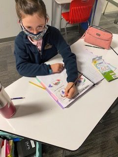
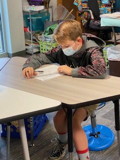
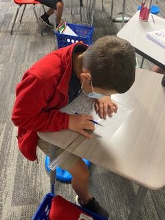
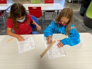
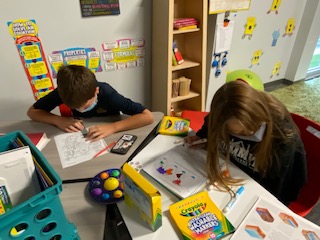
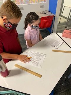
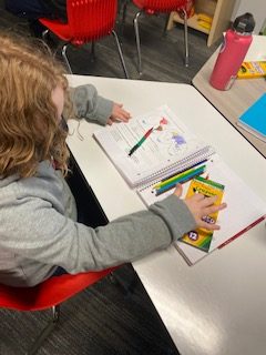
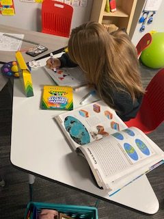
This week, the fifth graders have been looking at maps in social studies class.  We have discussed poles, hemispheres, and the major lines of latitude and longitude.  We have used scales and compasses to find distance and direction between locations.  We also spent time labeling and coloring the continents and major oceans.  We will continue practicing with latitude and longitude today- pinpointing precise places on the globe.

The Summit Preparatory School is a fully accredited, non-religious, private school offering a full-time seated independent education for students in Springfield, Ozark, Nixa, Rogersville, and the greater Southwest Missouri area. Our preparatory school setting offers an enriching early childhood, elementary, middle school, and high school curriculum in a supportive environment. We have state of the art facilities, highly-qualified teachers and staff, and a large range of educational programming. Interested in enrolling your child? Learn more about our admissions process.

Subscribe to Blog via Email

Enter your email address to subscribe to this blog and receive notifications of new posts by email.

Join 28 other subscribers

Archives

Related Articles

Week of 4/23-4/26

Hope everyone had a wonderful Home Stretch Holiday break!  Here’s what the 5th graders are up to this week: Writing: Students will begin writing a

Read More

Week of 4/15-4/19

Here’s what we’re up to in the 5th grade classroom this week! There will be no school on Friday or next Monday. Enjoy the Home

Read More